File:Spain outline map.png
From EGTRE
Jump to navigationJump to search
Size of this preview: 726 × 600 pixels. Other resolution: 1,218 × 1,006 pixels.
Original file (1,218 × 1,006 pixels, file size: 146 KB, MIME type: image/png)
Summary
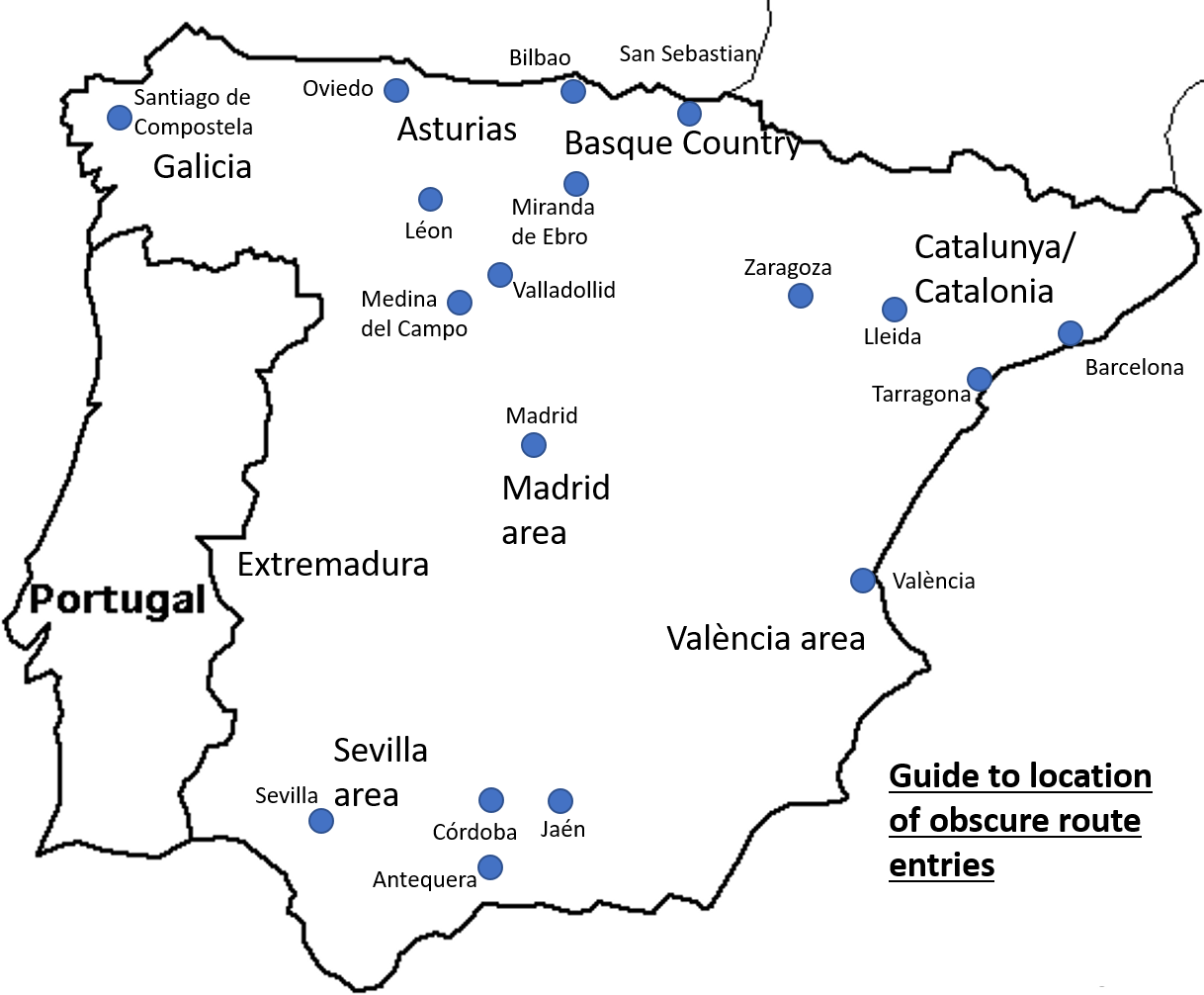
Outline map showing location of major towns and regions. Drawn December 2021 - © Paul Griffin
File history
Click on a date/time to view the file as it appeared at that time.
| Date/Time | Thumbnail | Dimensions | User | Comment | |
|---|---|---|---|---|---|
| current | 17:40, 25 November 2021 | | 1,218 × 1,006 (146 KB) | Geoff Blyth (talk | contribs) | Outline map showing location of major towns and regions. Drawn December 2021 - © Paul Griffin |
You cannot overwrite this file.
File usage
The following page uses this file: